Scenic Itineraries & Island Retreats

PASSAGES WITH ROOM TO LINGER

The fastest way to diminish a sailing holiday is to treat the chart plotter like a highway map. When a charter party attempts to link Corfu, Zakynthos, and Kefalonia in a single week, the crew spends six hours a day motoring into head seas while guests retreat below decks.

By contrast, confining a seven-day voyage to a single micro-basin—where islands sit eight to fifteen nautical miles apart—transforms the rhythm aboard. Mornings begin with a leisurely swim over visible sand; sails go up when the thermal sea breeze fills in around 11:30; and the anchor goes down in a calm cove by mid-afternoon.
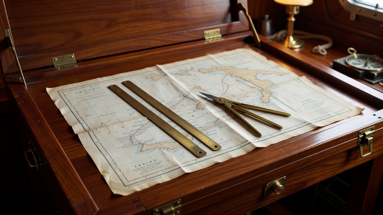
Brass dividers and parallel rules resting on a paper Admiralty chart of the Southern Ionian islands inside a mahogany chart table
Paper chart planning for the Inland Sea between Lefkada, Meganisi, Kalamos, and Kastos.

1. The Ionian Inland Sea: Lefkas to Kastos & Ithaca

Total 7-Day Distance: 82 Nautical Miles • Prevailing Wind: Maestro (NW Force 3–5, rising around 13:00 and dying cleanly at sunset).

Protected from open Ionian rollers by the high mountain spine of Lefkada and Kefalonia, the Inland Sea offers flat water and pine-fringed limestone coves where taking a shoreline to an olive trunk is standard practice.

Day 1–2: Meganisi
11 NM • Atherinos & Abelike Bay
Day 3–4: Kalamos & Kastos
14 NM • Port Leone Abandoned Village
Day 5–7: Ithaca & Atokos
16 NM • Kioni & One House Bay

Cruising Observation: Avoid Fiskardo’s main harbour on Saturday and Sunday nights when flotillas converge; instead, drop the hook in Filiatro Bay on the east coast of Ithaca, where holding in seven metres of sand is reliable and the morning sunrise warms the cockpit early.

2. The Pontine & Phlegraean Islands: Nettuno to Ponza & Ventotene

Total 7-Day Distance: 96 Nautical Miles • Prevailing Wind: Ponente (W/NW Force 3–4).

While the Amalfi Coast suffers from heavy summer wash and restricted anchoring zones, the volcanic Pontine Archipelago thirty miles offshore remains remarkably unhurried outside mid-August.

Palmarola’s Cathedral Cliffs: Entirely uninhabited save for a handful of rock-cut grotto dwellings, Palmarola’s western flank offers dramatic basalt stacks and translucent turquoise shallows. Boats lie at anchor off Cala del Porto during settled weather before shifting six miles east to Ponza’s Cala Feola natural rock pools for the night.

Ventotene’s Roman Harbour: Carved directly out of volcanic tufa stone two millennia ago, Porto Romano still shelters yachts up to 24 metres draughting under 2.8 metres. Walking up the ramp leads to car-free lanes scented with caper bushes and rosemary.

3. The Kornati & Šibenik Karst: Skradin to Žut & Telašćica

Total 7-Day Distance: 88 Nautical Miles • Prevailing Wind: Maestral (NW Force 4).

With 89 limestone islands scattered across a narrow channel, the Kornati National Park allows crews to sail almost entirely in lee water even when fresh winds blow across the open Adriatic.

“In Telašćica Bay on Dugi Otok, three distinct coves interlock like a puzzle; even if a sudden summer Bora sweeps down from the Velebit peaks, you are ten minutes from mirror-calm holding.” — Adriatic Pilotage Notes
Cruising Ground Prime Months Avg. Daily Leg Night Holding Style Water Temp
Southern Ionian (Greece) May, June, Sept, Oct 12 NM Anchor + Stern Line to Shore 23°C – 26°C
Pontine Islands (Italy) June, July, Sept 15 NM Free-Swinging Sand Anchor 22°C – 25°C
Kornati Islands (Croatia) June, Sept 13 NM Park Mooring Buoys & Konoba Quays 21°C – 24°C
Leeward Islands (Antigua/St. Barths) Jan, Feb, March, April 18 NM Reef-Protected Sand & Marine Park Buoys 26°C – 28°C

Inspect Marina Turnaround Ports Plan Your Route Brief